Skip to main content
University of Massachusetts Amherst
Search Google Appliance
Enter the terms you wish to search for.
Links
to common UMass Amherst services and features
Go.UMass
Email
SPIRE
Moodle
Blackboard Learn
UDrive
People Finder
Riversmart Photo Galleries and Virtual Tours
Supporting resilience to river floods through science, policy, and community outreach
Home
About
About Riversmart Communities
Our Team
River-Smart
Contact
Resources
For Businesses
For Farmers
For landowners
For Municipalities
For Policymakers
For Researchers
Research
RiverSmart Communities
Farms, Floods, and FGM
RiverSmart Communities and Federal Collaborators
Publications
Presentations
Virtual Tours & Photos
Virtual Tours
Photo Galleries
News & Events
News
Upcoming Events
Past Events
Book Your Event!
Contact
You are here
Photo Galleries
Flooding damage
to roads, human infrastructure
Damage to roads or human infrastructure from flooding
Dredging on the Chickley River
Chickley River riprap downstream view2
Chickley River riprap upstream view
Chickley River riprap
Deerfield River below Deerfield Academy - after Irene
Floodplain after Irene
Black Brook and road damage
West Branch Deerfield - eroded bluff
Black Brook, downstream view
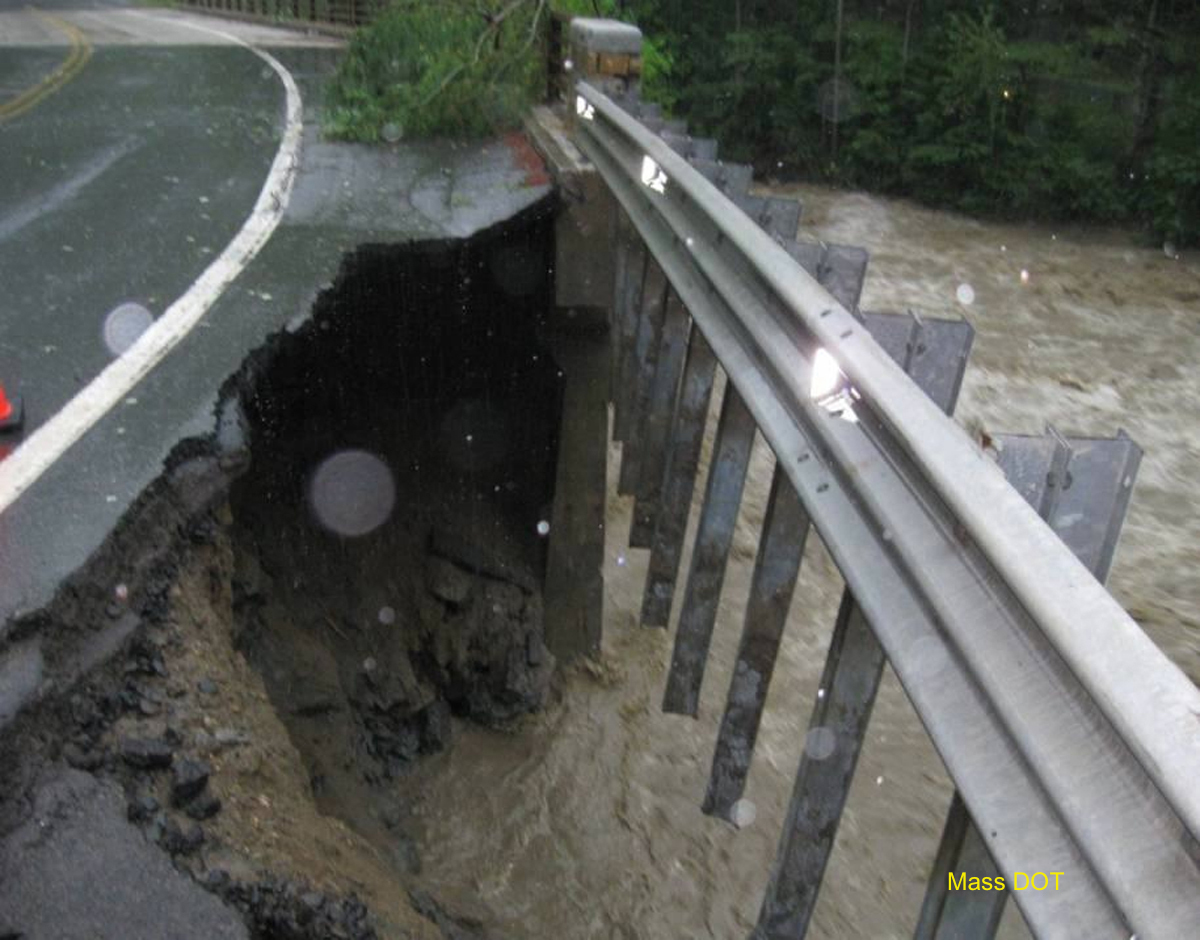
Black Brook road, guardrails
Black Brook road damage
Black Brook and road
Route 2 bridge - from Black Brook
Route 2 bridge damage - southeast corner
Cold River bridge after Irene
Cold River bridge - Irene damage
Bridge under repair
Hawley town garage destroyed by Chickley River flooding
Town garage
Rt 8A during the flood
Flooding Chickley River.
Box culvert destroyed
Culvert exposed
Road and culvert damage
Cox Pond flowing over Pond Road
Pond Road, culvert damage
Cox Pond
Chickley River near Scott Road August 30 2013
Chickley River near Scott Road June 18 2013
Chickley River near Hawley town garage
Photo Galleries
Scenic
Headwaters stream
Mid-sized tributaries
Major River
Natural river processes
Flooding damage
Flooding/ high water
Restoration
Road stream crossing
Other Infrastructure